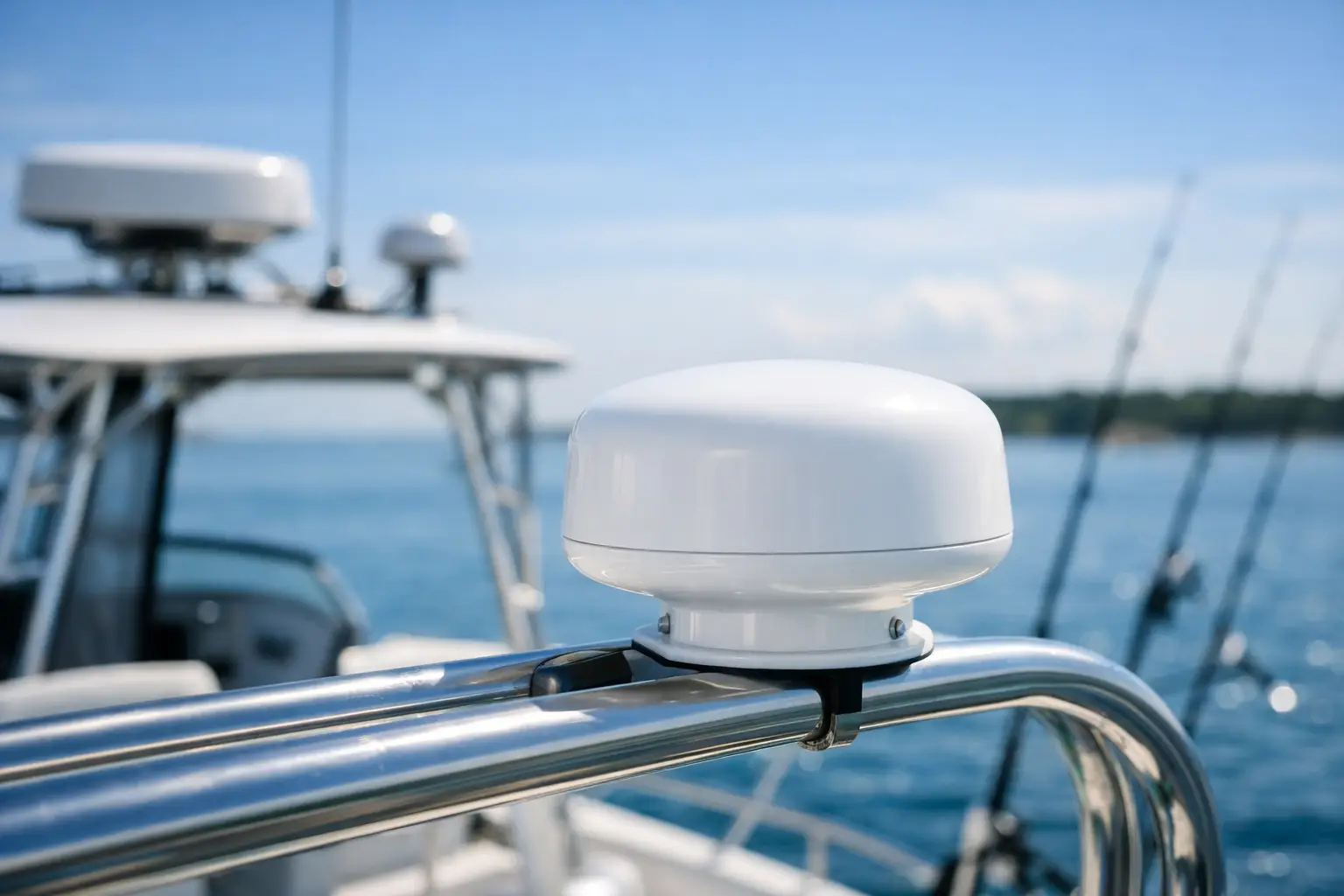
A clear horizon can change quickly once you are beyond the inlet. The Garmin GXM 54 Satellite Weather/Radio Antenna – Black [010-02277-10],010-02277-10,753759331238 gives compatible Garmin chartplotters access to SiriusXM marine weather and audio services, helping boaters make better-informed calls when cell service has faded behind the wake.
This is not a magic safety device, and it should never replace a proper float plan, VHF radio, radar awareness, or a careful look at the sky. But for boaters who regularly fish offshore, cruise between coastal stops, or spend long days outside cellular range, satellite-delivered weather can add useful context where it matters most.
What the Garmin GXM 54 Does on the Water
Despite the product name, the GXM 54 is more than a standalone antenna. It is a satellite weather and radio receiver designed to feed information to a compatible Garmin multifunction display. With an active SiriusXM subscription, it can bring weather layers and marine data directly to your chartplotter, along with SiriusXM audio where your selected service plan supports it.
The practical benefit is perspective. Instead of relying only on a forecast checked at the dock, you can view changing conditions while underway. Depending on your subscription package and chartplotter capabilities, that may include radar imagery, wind information, lightning data, storm tracks, wave information, and forecast products.
For a family cruising a few miles off the coast, that can mean noticing a line of storms developing before the ride home gets uncomfortable. For anglers running to a distant reef, it can help frame the question that matters most: is the weather trend improving, holding, or giving us a reason to turn back early?
Garmin GXM 54 Weather/Radio Antenna: Who It Fits
The GXM 54 makes the most sense for boaters who already use a compatible Garmin display and want weather awareness beyond the range of a phone-based app. It is especially relevant for offshore anglers, coastal cruisers, sailors on longer passages, and boat owners in regions where fast-moving summer storms are a regular part of the season.
It may be less essential for the occasional nearshore boater who stays within reliable cellular coverage and can easily postpone trips around uncertain forecasts. Satellite service adds both equipment and recurring subscription costs, so the value depends on where and how you use your boat.
The radio function is a welcome quality-of-life feature on long runs, but it should not be the primary reason to choose this unit. Its greater value is weather situational awareness. Music makes the miles pass faster; current information can help you make a more conservative decision when conditions begin to change.
Installation Details That Matter
Satellite reception depends on a clear view of the sky. Mount the GXM 54 where hardtops, outriggers, radar arrays, and other equipment will not block its signal. A high, open location is often ideal, but the best spot varies with the boat’s layout and the manufacturer’s installation guidance.
Before buying, confirm compatibility with your specific Garmin chartplotter model and make sure its software is current. Garmin marine electronics evolve quickly, and an otherwise capable receiver is not useful if it cannot communicate with the display at your helm.
Also plan the installation rather than treating it as a quick add-on. Consider cable routing, power or network connections, mounting hardware, and the protection needed at every deck penetration. On a saltwater boat, clean cable runs and properly sealed fittings are not cosmetic details. They help keep a useful upgrade from becoming a future leak or corrosion problem.
Satellite Weather Is Information, Not Permission
Satellite weather is valuable because it keeps a wider weather picture within reach, but every feed has limits. Weather products can have update intervals, radar images can reflect conditions from minutes earlier, and local conditions can shift faster than a screen can fully explain. A visible storm track is not an invitation to thread between cells.
Use the GXM 54 as one part of a layered decision process. Compare what the display shows with marine forecasts before departure, VHF weather broadcasts, visible cloud development, sea state, and your crew’s comfort level. If those signals disagree, lean conservative.
That mindset is part of becoming more confident on the water. The goal is not to stay out longer at all costs. It is to understand your surroundings well enough to enjoy the freedom of a longer run, then know when the smartest course is back toward the harbor.