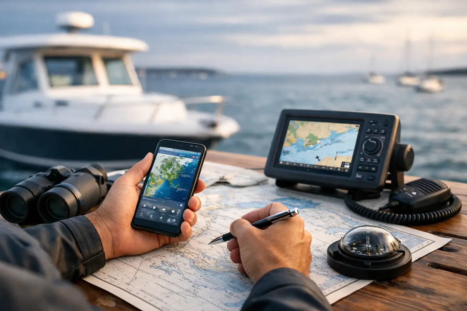
A sunny shoreline can make the water look like an easy yes. Then you clear the inlet, the wind is stronger than expected, the chop stacks up, and the ride home becomes the part everyone remembers for the wrong reason. Learning how to read a marine forecast gives you a better way to make the call before the dock lines come off.
You do not need to become a meteorologist to plan a safe, enjoyable day on the water. You do need to look past a single weather icon and understand how wind, waves, timing, tides, and local geography work together. A forecast is not a permission slip. It is a picture of what may be waiting beyond the buoy, and your job is to decide whether that picture fits your boat, crew, route, and experience.
Start With the Right Forecast Area
Marine forecasts are issued for specific coastal waters, bays, sounds, offshore zones, and sometimes major lakes. The forecast for your beach town may not describe the conditions 10 miles offshore, on the far side of a headland, or inside a protected bay.
Before focusing on the numbers, confirm the forecast zone and its boundaries. A nearshore forecast generally covers waters close to land, while an offshore forecast covers more exposed water farther out. If you are leaving a sheltered marina for open water, read both. The calmest part of your route should not be the part that makes the decision for you.
Also pay attention to the forecast period. “Tonight” and “this afternoon” can contain the biggest changes of the day. Many summer mornings begin gentle, then build into a much different afternoon as sea breezes develop. A 9 a.m. departure may be reasonable while a 3 p.m. return is not.
How to Read a Marine Forecast, One Factor at a Time
The most useful forecast reading comes from connecting the pieces, not scanning for one reassuring number. Start with wind, then look at the water it creates.
Wind speed and direction
Wind is usually stated in knots, followed by its direction. “South winds 10 to 15 knots” means the wind is coming from the south, not traveling toward it. One knot equals about 1.15 miles per hour, but exact conversion matters less than understanding what the wind will do on your route.
A steady 10-knot wind can feel easy in a protected harbor and tiring in an exposed channel. Gusts matter too. “10 to 15 knots with gusts to 20” means conditions may repeatedly jump above the sustained range. Those bursts can make docking harder, surprise inexperienced passengers, and quickly turn a modest chop into a sloppy one.
Direction changes the story. An onshore wind can make beach launches and inlets rougher. An offshore wind may flatten water near land, but it can also push a paddleboarder, small skiff, or disabled boat away from shore. Wind against the direction of travel often means a wet, pounding ride, especially in smaller boats.
Wave height, period, and direction
A forecast might call for “seas 2 to 4 feet.” That range describes the expected wave height, but it does not tell you everything. The wave period, often listed in seconds, reveals how closely the waves are spaced.
Two-foot waves every three seconds can be steep, frequent, and unpleasant. Three-foot waves every nine seconds may feel more rolling and manageable for many boats. There is no universal comfort number because hull shape, boat length, load, crew tolerance, and route all matter. Still, short-period waves deserve extra respect, particularly in a small center console, runabout, or open fishing boat.
Swell direction is equally useful. A long-period swell from the east may arrive even when local winds are light. Around inlets, reefs, shoals, and points of land, swell can steepen or break in ways that a simple wave-height number does not capture. If your plan includes crossing an inlet or anchoring near an exposed beach, direction is not a detail. It is central to the plan.
Wind waves versus swell
Some forecasts separate wind waves from swell. Wind waves are created by nearby wind and tend to be shorter, choppier, and less organized. Swell is generated by distant weather systems and travels in more regular lines across the water.
When wind waves and swell come from different directions, the surface can become confused, with waves crossing one another. That can make a forecast of moderate heights feel far less comfortable than expected. A boat can handle a lot more when the water has a predictable rhythm than when it is being pushed from two directions at once.
Visibility, rain, and thunderstorms
Visibility is easy to overlook until the horizon disappears. Fog, haze, heavy rain, and low clouds can reduce your ability to spot channel markers, other vessels, debris, and the shoreline. Navigation electronics help, but they do not replace alert eyes, sound signals, safe speed, and sound judgment.
Thunderstorm language deserves a conservative response. Forecasts may mention scattered thunderstorms, strong wind gusts, frequent lightning, or locally higher seas. The word “scattered” does not mean harmless. It means storms may be unevenly distributed, and one could form directly along your route. If storms are expected, make a plan that includes a protected place to go, an earlier return time, and a willingness to skip the trip.
Put Tides and Currents Into the Picture
A marine forecast tells you about atmospheric conditions. Tide and current information tells you how the water itself will move. Together, they explain much of what you will actually feel.
An outgoing tide meeting an onshore wind can produce steep, closely packed waves at an inlet. A current running against a swell can do the same near passes, river mouths, and narrow channels. Conditions that look acceptable in open water can become challenging in these transition zones.
For anglers, tides influence more than boat handling. Current can shape where bait gathers and where fish feed. For beach boaters and paddlers, tide height can determine whether a sandbar is passable, a launch is accessible, or a favorite cove has enough water to enter and leave safely. Check the time of high and low tide, but also ask what the tide will be doing when you cross the shallowest or most exposed part of your route.
Read the Forecast as a Timeline
A common mistake is reading only the overall daily forecast. Instead, follow the timing from departure through return. Note when wind is forecast to increase, when a front may arrive, when tides turn, and when thunderstorms are most likely.
For example, consider a forecast calling for light winds early, southwest winds 15 to 20 knots by afternoon, and a chance of thunderstorms after 2 p.m. That is not necessarily a full-day green light just because the morning looks calm. It may be a short, early outing with a firm turnaround time, a route that stays close to shelter, and enough fuel to avoid rushing back.
Build a margin for the slow parts of a day: loading the boat, getting children settled, cleaning a fish, waiting at a fuel dock, or helping someone who is seasick. The water rarely follows a schedule perfectly. Your plan should have room for that.
Know What Warnings Are Telling You
Marine forecasts may include advisories and warnings that signal hazardous conditions. A Small Craft Advisory is particularly relevant for recreational boaters. It does not mean every boat must remain docked, but it does mean conditions are expected to be hazardous for many smaller vessels.
A Gale Warning, Storm Warning, or other severe marine alert calls for a much more cautious response. Do not treat alert language as background text beneath the forecast. It is the forecast service telling you that the usual risk level has changed.
Your boat’s capability matters, but so does your capability. A larger vessel may tolerate conditions that would overwhelm a 19-foot boat, yet an experienced captain still considers fuel range, crew comfort, visibility, mechanical reliability, and safe places to turn around. Confidence on the water should come from good decisions, not from proving that you can endure a rough ride.
Make the Go or No-Go Call for Your Crew
Before leaving, turn the forecast into a plain-language plan. Where are you going? When will conditions be best and worst? What will the ride be like in each direction? Which portion of the route is least protected? Where can you shelter if the weather changes?
Then consider the people aboard. A family with young children, first-time guests, or someone prone to motion sickness may have a lower comfort threshold than a seasoned fishing crew. That does not make the day less worthwhile. It simply changes the kind of adventure that makes sense. A calm cruise through an estuary, a waterfront lunch, or an early morning island stop can be every bit as memorable as a long offshore run.
The forecast is one of the best tools you have for protecting the freedom that draws people to the water in the first place. Read it with curiosity, respect it without fear, and let it guide you toward the days that leave everyone eager to cast off again.